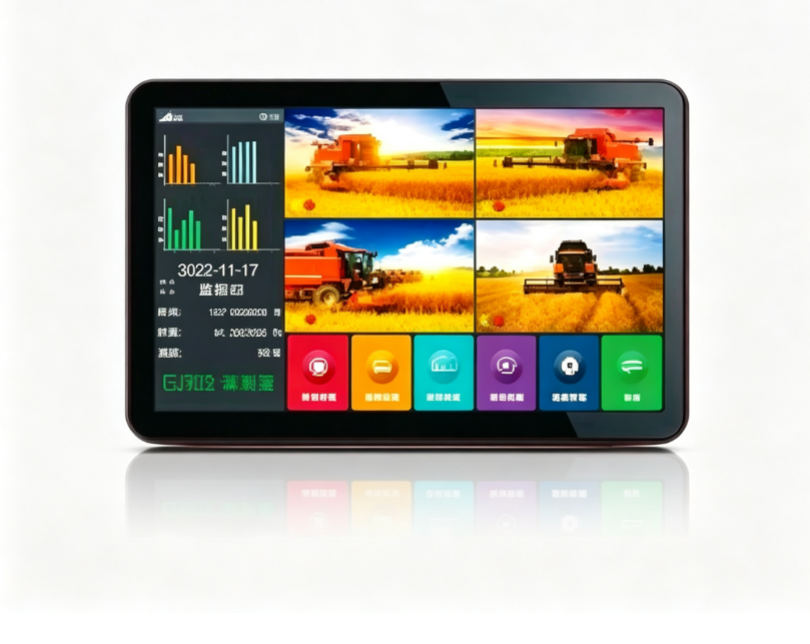
GJ703 display screen
The product is equipped with a high-precision GPS installed inside or outside the vehicle, a host internal sensor communication system, and 2 to 4 wide-angle cameras. While measuring the area, it can collect images of the surrounding environment and transmit them in real time to the integrated machine. With this system, one can measure the area, measure the length, calculate the price, and so on. It can also visually display obstacles and pedestrians around the vehicle, effectively reducing the occurrence of accidents such as scratches, collisions, and falls.
Get a QuoteProduct Details
1. Area Measurement: Through high-precision GPS positioning, the agricultural machinery's operation area is measured in real time, and precise calculations for various land shapes are supported.
2. Vehicle Measurement: Real-time monitoring of vehicle operation parameters, recording key data such as driving trajectory, speed, and distance.
3. Slope Measurement: Optimized for slope operation scenarios, it can accurately calculate the actual operation area in inclined terrain.
4. Fixed Point Measurement: Supports precise measurement of designated areas, suitable for irregular plots or the calculation of specific areas.
5. Length and Width Measurement: Function for measuring the length and width of the plot, helping users quickly understand the plot dimensions.
6. Top Width Measurement: Top width measurement function, suitable for measurement requirements of special plot shapes.
7. Distance Measurement: Driving distance recording function, used to calculate the operation mileage and driving trajectory.
8. Data Export: Measurement data export function, supporting the saving and analysis of historical data.
Need Technical Assistance?
Our engineers can help you select the optimal specifications for your application.
Contact Our Team